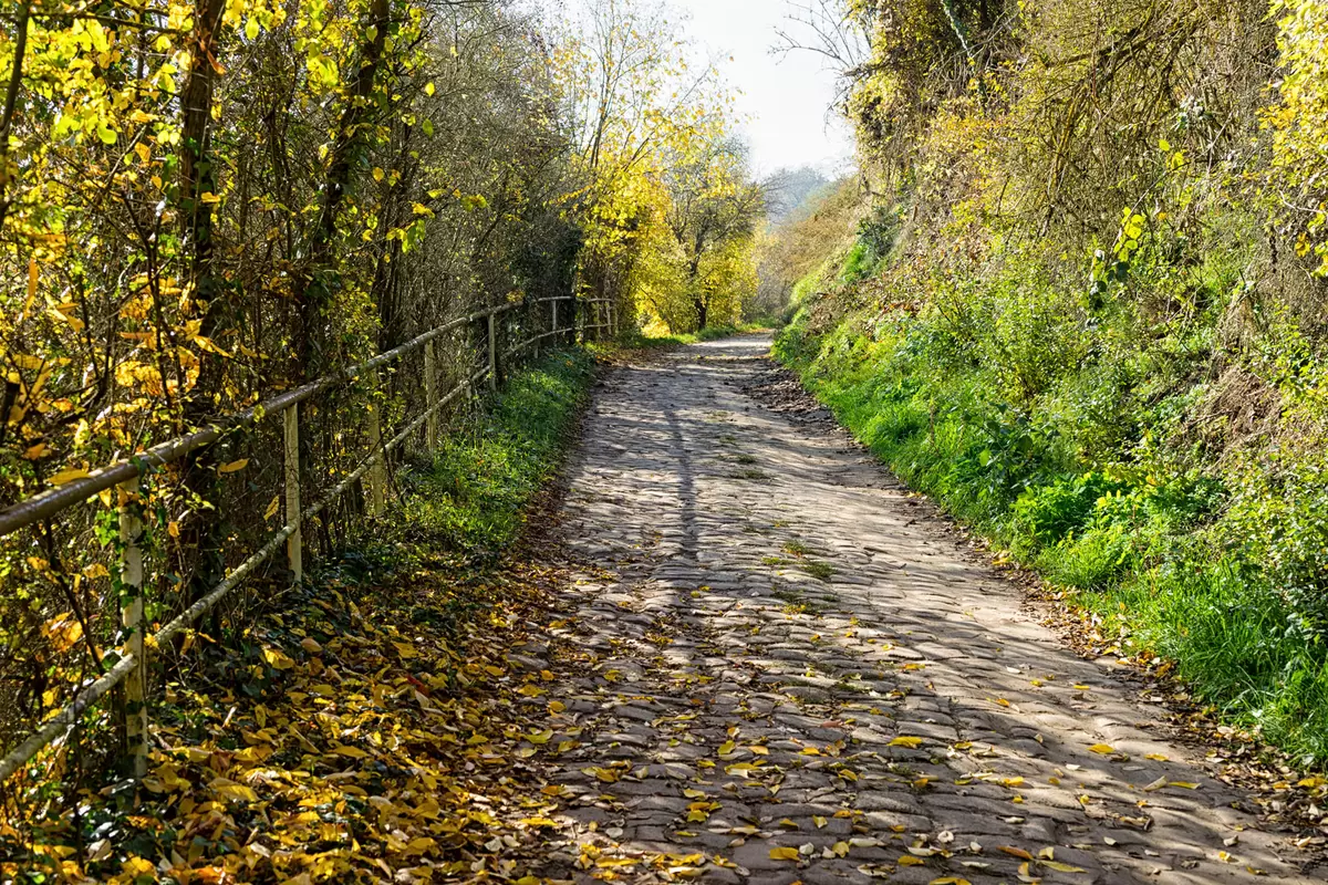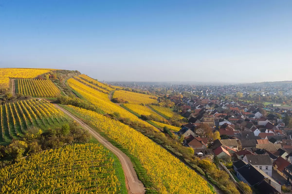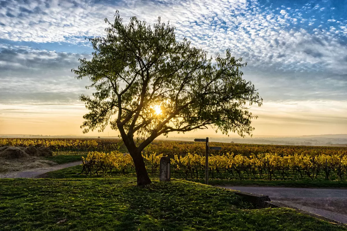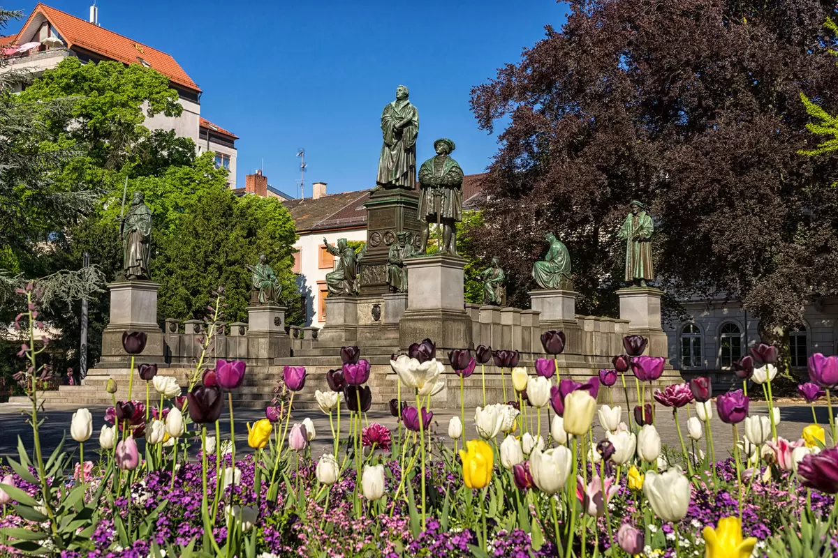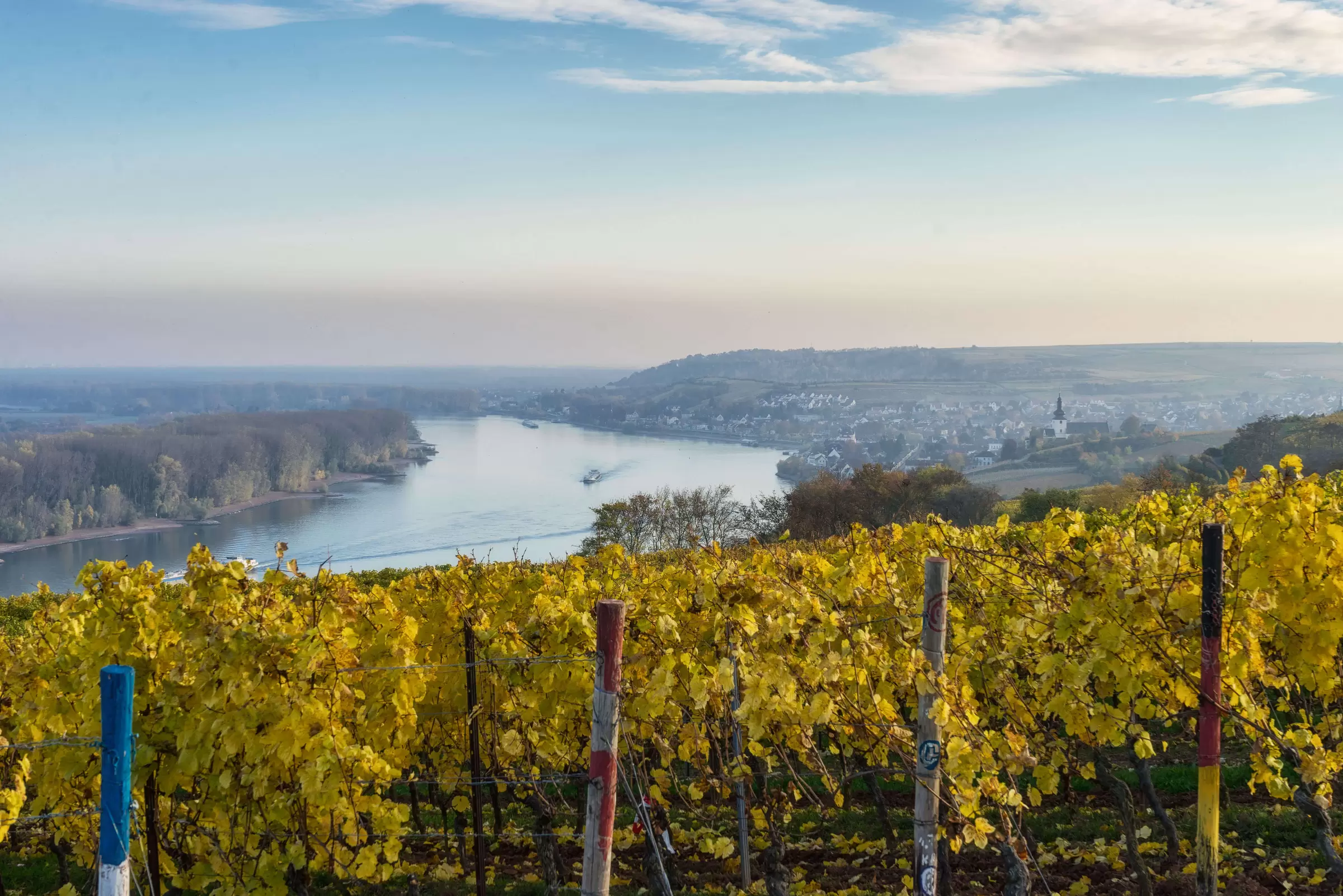
Exceptional cuisine can also be enjoyed in many restaurants along the 75-kilometre trail. From ostrich taverns and inns to upscale restaurants, there is something for every taste. From Worms to Mainz, the Rhine landscape is varied across six stages and can be planned individually thanks to the twelve railway stops.
The first stage from Worms to Osthofen starts at the Worms railway station and via idyllic residential leads areas to the old Bahnhofstraße. This is where the RheinTerrassenWeg trail begins at Schloss Hernsheim. Taking a look at the beautiful Schlosspark is definitely worth your while. Green surfaces, which seem almost endless, shape the way ahead.
Duration: approx 4 Hours
Distance: approx. 15 km (88 metres altitude difference)
The stage from Osthofen via Becht- and Mettenheim starts in the old centre of Osthofen. Once again accompanied by vineyards, you hike to the hill country of Rheinhessen and the Rhine plain. Take the opportunity to indulge in a short break in Bechtheim and marvel at the romantic basilica or taste a glass of wine. The plateau offers great views before the trail leads through lively vineyards to Mettenheim.
Duration: approx. 3 hours
Distance: approx. 9.6 km (119 metres in altitude)
Between Mettenheim and Guntersblum, on the third stage, you will once again be able to catch numerous wonderful vistas. Breathtaking landscapes as well as an exciting narrow pass provide for exciting moments. Guntersberg attracts visitors with its castles, a cellar path, and the Saracen tower church.
Duration: approx. 3.5 hours
Distance: approx. 10.3 km (163 metres altitude difference)
We continue in the direction of Oppenheim - another vineyard tour with breathtaking narrow passages. In the old town, at your destination around the Katharinenkirche, you can rest before returning or continuing by train or on foot.
Duration: approx. 3.5 hours
Distance: approx. 10.5 km (160 metres altitude difference)
The fifth stage to Nierstein via Nacken- and finally to Bodenheim is a route full of interesting contrasts. After many vineyards you enter the lively Nierstein village before reaching the impressive Roter Hang slope. After crossing wide plains you reach the stage destination of Bodenheim.
Duration: approx. 5.5 hours
Distance: approx. 18.9 km (319 metres altitude difference)
The last stage offers wonderful views across the Taunus and of the Frankfurt skyline. Geological insights in Weisenau and the beautiful passage along the banks of the Rhine River make the last stage particularly worthwhile. The arrival at the Mainzer Stadtpark is the last highlight of the RheinTerrassenWeg.
Duration: approx. 4 hours
Distance: approx. 12.3 km (141 metres in altitude)
